


About
Welcome
Digiscape Land Surveyors Ltd
At Digiscape, we’re not your average land surveying company – we’re your go-to partner for precision and innovation. Based in the UK, our team delivers top-notch surveying solutions that are custom-made for your industry.
We’re all about blending expertise with the latest tech to bring you top-notch results. Whether we’re out in the field conducting topographic surveys, offering stakeout services, or providing specialized training programs, rest assured we’re going the extra mile to not just meet, but exceed your expectations and empower professionals in the field.

Area of Activities
Services
What We Do?
At Digiscape, we specialize in a variety of land surveying fields, offering tailored solutions to meet diverse needs across the UK. Our expertise encompasses:
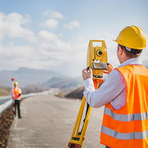
Construction Surveying
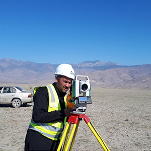
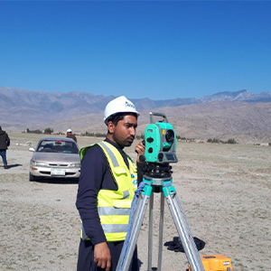
We provide precise measurements and data for construction projects, aiding architects, engineers, and construction teams in optimizing their designs and workflows.
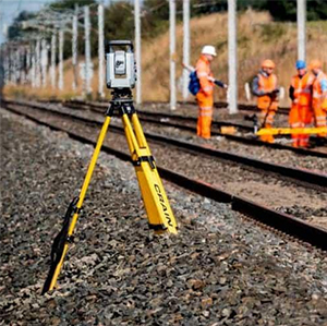
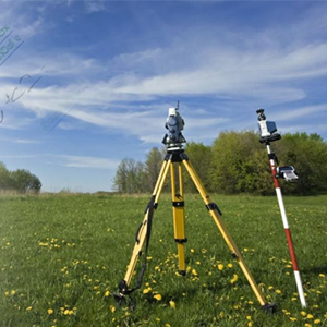
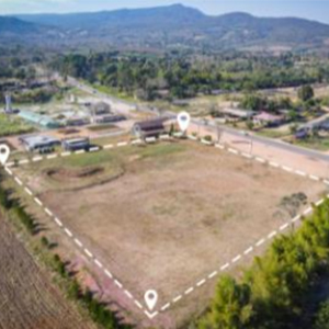
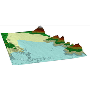
Topographic Surveying
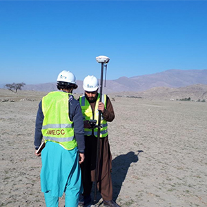
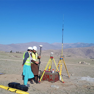
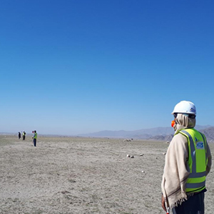
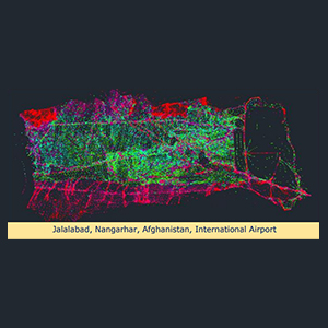
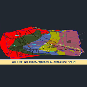
Our top-notch surveyors are all about mapping out every little detail, from natural landscapes to man-made structures. Whether it’s for urban planning or land development, we’ve got you covered, whether it’s Rail, Road, Transmission Tower Line, or Airport surveying.
GIS (Geographic Information Systems)
Leveraging cutting-edge GIS technologies, Digiscape delivers comprehensive spatial data analysis and visualization solutions for urban planners, resource managers, and environmental agencies, aiding informed decision-making processes.
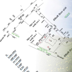
Land Boundary Surveying
Digiscape’s boundary surveyors are adept at establishing property lines and resolving disputes, ensuring clarity and accuracy in land ownership matters, particularly in densely populated areas undergoing rapid development.
Remote Sensing
Through the utilization of aerial photography, satellite imagery, and LiDAR technology, Digiscape’s remote sensing specialists gather critical data for environmental monitoring, agriculture, forestry, and disaster management initiatives, contributing to sustainable land management practices.
Training
Training
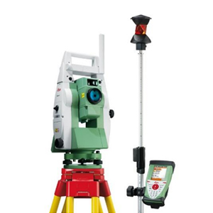
Digital Land Surveying Course
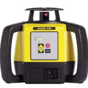
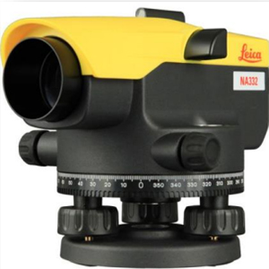
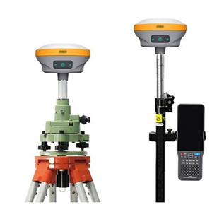
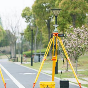
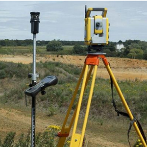
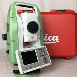
This course offers in-depth training on the use of DGPS (Differential Global Positioning System), Robotic Total Station, Laser Level, and Automatic Level. Participants engage in hands-on practice sessions to master the operation and application of these surveying instruments.
Plotting Data Course
Participants receive comprehensive instruction on downloading data from surveying instruments and are trained in surface creation, cross-section, and long-section generation, as well as cutting and filling calculations. Practical exercises reinforce understanding and proficiency in data plotting techniques.
Setting Out Training
This training provides detailed instructions on setting out procedures for construction projects. Participants engage in practical demonstrations and simulations to develop setting out skills in various real-world scenarios.
AutoCAD 2D and 3D Course
This course offers complete training on AutoCAD software, covering both 2D and 3D drafting and modeling. Participants learn to create precise drawings, schematics, and models relevant to land surveying and civil engineering projects.
Civil 3D Course
Participants receive comprehensive instruction on Autodesk Civil 3D software, focusing on its applications in civil engineering and land development projects. Hands-on exercises allow participants to learn advanced features such as corridor modeling, grading, and earthwork calculations.
GIS Course
This course provides thorough training on Geographic Information Systems (GIS) technology. Participants learn to analyze, manage, and visualize spatial data for various applications, including urban planning, environmental management, and infrastructure development.
Google Earth and ODK Course
Participants receive practical training on using Google Earth for spatial visualization and analysis. Instruction is provided on the Open Data Kit (ODK) for digital data collection in the field.
Gallery


Ready to elevate your land surveying skills and take your projects to the next level?
Contact us today to explore our comprehensive training programs and cutting-edge surveying solutions!